UN
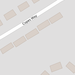
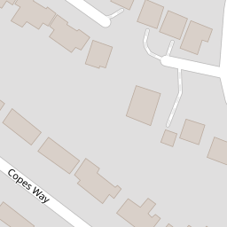
9 Copes Way
£ 88,000
Description
We don't have a Description for this property.
- Bedrooms
- 3
- Bathrooms
- 0

Leaflet © OpenStreetMap contributors
The heatmap indicates the level of crime in the area. The color of the heatmap indicates the crime severity and recency.
Metrics Year-on-Year
- Average area value
- 358,333.00 £Increased by 6.25 %
- Average area rental value
- 1,283.00 £/moDecreased by 3.24 %
- Est rental Yield
- 4.30 %Decreased by 8.90 %
- Crime Rate
- 7.00 %Unchanged by 0.00 %
from 337,265.00 £
from 1,326.00 £/mo
from 4.72 %
from 7.00 %
Nearby Schools
| Name | Type | Ofsted | Distance |
|---|---|---|---|
| Cavendish Close Infant School | Community School | Good | 0.30 KM |
| Audrey Drive Children'S Centre | Children's Centre | 0.31 KM | |
| Cavendish Close Junior Academy | Academy Sponsor Led | 0.45 KM | |
| Oakwood | Children's Centre | 0.70 KM | |
| Parkview Primary School | Community School | Good | 0.84 KM |
Images
Nearby Streets
| Name | Average Price | Average Sqft | Distance |
|---|---|---|---|
| Wardlow Avenue | £ 155,000 | 0 | 0.00 KM |
| Lawrence Avenue | £ 0 | 0 | 0.00 KM |
| Alderley Court | £ 0 | 1,252 | 0.00 KM |
| Church Lane | £ 0 | 0 | 0.00 KM |
| Ennis Close | £ 185,000 | 0 | 0.00 KM |
Nearby Transport
| Name | NLC | TLC | Distance |
|---|---|---|---|
| Spondon | 1699 | SPO | 3.53 KM |
| Derby | 1823 | DBY | 4.37 KM |
| Peartree | 1687 | PEA | 6.58 KM |
| Duffield | 1691 | DFI | 8.37 KM |
Nearby Listings
| Address | Price | Type | Score | Distance |
|---|---|---|---|---|
| Gleadsmoss Lane, Oakwood, Derby | £ 235,000 | BUY | 6 / 10 | 0.07 KM |
| Gleadsmoss Lane, Oakwood | £ 220,000 | BUY | 7 / 10 | 0.09 KM |
| Moncrieff Crescent, Chaddesden, Derby | £ 190,000 | BUY | 6 / 10 | 0.10 KM |
| Gleadsmoss Lane, Oakwood | £ 200,000 | BUY | 5 / 10 | 0.10 KM |
| Moncrieff Crescent, Chaddesden | £ 210,000 | BUY | 6 / 10 | 0.14 KM |
Nearby Properties
| Address | Price | Distance |
|---|---|---|
| 1 Copes Way | £ 130,000 | 0.00 KM |
| 9 Copes Way | £ 88,000 | 0.00 KM |
| 27 Copes Way | £ 170,000 | 0.00 KM |
| 53 Copes Way | £ 110,000 | 0.00 KM |
| 71 Copes Way | £ 133,000 | 0.00 KM |